


Hurricane Erin: A Rapidly Intensifying Storm Threatening the Caribbean
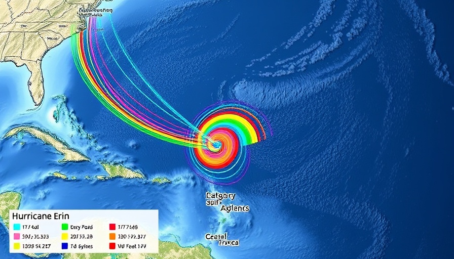
Hurricane Erin has surged from a tropical storm to a Category 5 hurricane in a mere 24 hours, showcasing the alarming intensification trends that have defined recent hurricane seasons. As reported by the National Hurricane Center (NHC), Erin's maximum sustained winds skyrocketed from 100 mph to a staggering 160 mph, presenting a formidable threat to nearby islands.
Current Threats and Impact Forecasts
Although Erin’s projected path suggests the storm will remain offshore, it poses significant risks of heavy rain and flooding to various islands in the Caribbean. Tropical storm watches are currently in effect for St. Martin, St. Barts, and St. Maarten, where residents could experience flash flooding, mudslides, and landslides. Wind gusts of tropical storm strength are also a possibility for the Turks and Caicos Islands and the southeastern Bahamas.
Prepping for the Unexpected: Hurricane Preparedness
The rapid intensification of storms like Erin emphasizes the necessity for residents in vulnerable areas to remain vigilant. Preparedness kits, safety plans, and awareness programs are essential in ensuring safety. Although Erin may pass north of Puerto Rico and the Virgin Islands, coastal regions like North Carolina’s Outer Banks and Cape Cod, Massachusetts, are at risk of feeling the storm's side effects, including powerful rip currents.
The Bigger Picture: An Active Hurricane Season Ahead
2025 is expected to be an unusually active Atlantic hurricane season, with predictions forecasting six to ten hurricanes, of which three to five could be major storms. The trend of rapidly intensifying storms signifies that communities must stay informed, efficient, and ready to respond as the environment continues to change, prompting a call to action for all individuals to enhance their storm preparedness.


Write A Comment